Welcome to SAT-DRONES
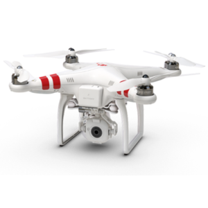
Sat-Drones integrates satellite, drone and statistical data to provide customized comprehensive software products
Improve Timely Decisions | Cost-Effective Solutions | Benefiting Human Welfare
Consulting
Let our scientists and engineers scope your project!
Contact us today for a free consultation
Data Management
Complex GIS Data Management
We manage and query complex data sets every day
Project Managers
Our project managers are expert in every aspect of drone technology
Meet our team
Secure Mapping Services
We make complex map that solve problems
Check our projects out

Plan
Projects Plans
Develop
Comprehensive Services
Test
Fully Tested Solutions
Deliver
On Schedule


